|
The 2006 Hunt !

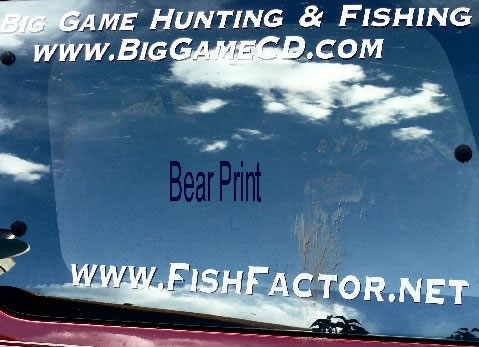
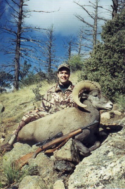
2007 BEAR
We were recently on a
backpacking trip in the Weminuchie Wilderness. We saw a few bears on the trip.
When we returned to our vehicle there were bear paw prints all around our
vehicle. We thought it was a great shot."

HuntData LLC
For Sales please Call.
303.663.4878
For support questions, please send us an email
the response will be much faster.
|
|
| |
|
|
 |
| |
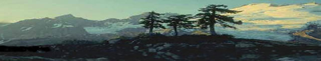
The 3D capabilities of JMU will generate
a smile. You will spend countless hours exploring your unit
and other units nearby using JMU. Explore wilderness areas
from the comfort of your desk chair or plot a new route into
the backcountry.
We used the Grand Lake area to create 3
sample JMU fly through demonstrations. In the software, you
could move left, right, up, and down in the landscape.
The first demonstration is model
generated using Elk Concentration Maps. Each JMU package
comes with a Topo base map and Summer, Winter, and Spring
elk concentration areas.
The demo begins at the South end of
Granby Reservoir and proceeds North through Grand Lake and
up through the edge of Rocky Mountain National Park. The
video then banks West, heads across the valley and circles
back to the head of the Reservoir.
In the first video, the red cross-hatch
overlays represent summer elk concentrations. The yellow
lines represent Spring concentrations, and the blue lines
represent the winter concentration areas. On some maps
there are also resident herd overlays. |
|
 Click on the
pictures to load the movie
|
|
|
For Dialup speed please use this link.
|
For DSL speed please use this link.
|
|
|
|
 |
|
|
|
| |
The second video depicts the landscape
with Land Ownership data. Green represents National Forest,
Dark Green represents Wilderness, gold is BLM, white is
private and Blue is State Land. As you move up the valley
the purple area represents Rocky Mountain National Park.
In addition to the land ownership
colors, notice the campgrounds and road numbers clearly
marked. These maps are great for hunting!
|
|
Click on the
pictures to load the movie |
|
|
For Dialup speed please use this link. |
For DSL speed please use this link.
|
 |
|
|
|
|
| |
Now for the “Wow”. Satellite images are
proliferating on the internet. Google, NASA, and USGS offer
easy to access satellite images of the whole world. But,
they are just photos and they don’t help much with hunting.
We thought, “why not use the satellite images to create a
realistic landscape of a hunting unit, complete with GMU
boundaries?” We did it with JMU. At HuntData we’ve logged
more hours exploring our favorite units using the satellite
images that we care to account for. You will to. This is
great, off-season fun with a real-life hunting benefit.
Learn the landscape of your unit in ways never before
possible. Learn new areas before even setting foot in the
unit.
Here’s the video, using the same area
around Grand Lake, Colorado:
|
|
Click on the
pictures to load the movie |
|
|
For Dialup speed please use this link.
|
For DSL speed please use this link.
|
 |
|
|
And speaking of fun, we couldn’t resist.
At HuntData we fish as well as hunt. So, in the middle of
creating JMU we were distracted with the Black Canyon of the
Gunnison. One afternoon Dave created this fly through.
The fly-through depicts the approach to the Black Canyon
from the North and moves through most of the Canyon. Just
for fun, Just My Unit!
The 3DEM
modeling software can create video output using your GPS
route. The Program will create .avi or .mpeg fly
through movies to mail to your hunting buddies.
Any of the four maps can be used to create the 3D worlds and
movies. |
Click on the
pictures to load the movie

|
|
|
|
|
The above samples are SAMPLE 3D modeling Units ONLY.
These images are not to scale and are NOT depicting the
correct species and or 3D overlays.
These images are copyrighted by HuntData LLC and for
demo view only. |
|
|
|
|
 |
|
 |
|
|
|
| |
home |
about us |
products | search | checkout
| e-mail
| privacy policy
HuntData Copyright 1996-2007 HuntData LLC.
Web site Optimization and Design By fmtmwebservices.net
& Uswebtek.com
|
|
|

New Products
|
View the Maps Advertised in the BigGame Regulations!
|
Testimonials
|
|