|
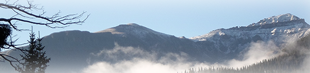
We built the maps from the ground up using current information. Compare this to other maps produced from old (up to 8 years) scanned BLM maps. Our Land Ownerships use this years land ownership data from the BLM and State sources. Over the land ownership data, we add contour lines and property boundaries from Colorado Parks of Wildlife, National Parks, National Forest, State, US Fish and Wildlife, other Federal lands.
We then add unit boundaries and project the maps at 1:80,000, 1:100,000 or 1:120,000 scale depending on the unit size. The road and trails layers are extracts from the USGS Quad 7.5 minute series. What this means is no matter what the scale of your unit map you have the most details roads and trails available.
Our specialty kill site Land Ownership Maps add kill sites, color coded by year with summer and winter concentration areas. Find where you can and SHOULD hunt on one map!
Each map contains a quick scan QR code to load the map into your Smartphone using Avenza Maps free GIS App (download from your App Store).
The most current data available on the best hunting map made.
| Game Management Unit: | | | Add Digital Maps: | |
|